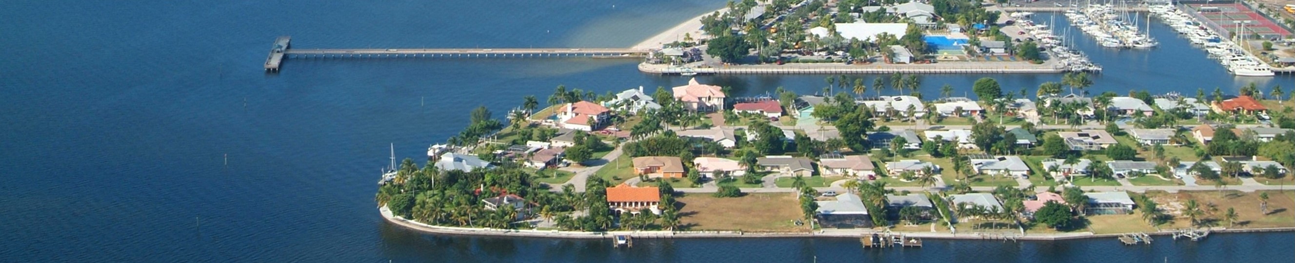


Automatic calculation of the boating time from within the Cape Coral canal system
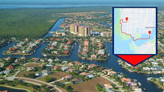 With the last update of the iBOATMAP database almost all 65,000 addresses with gulf access in Lee County are included. Officially this is the first tool now that can do these kinds of computations.
This tool solely serves as an approximate calculation of the boating time from an address with gulf access to a destination. Potential waiting times at boat locks are not part of the calculation.
In case you are not familiar with the Cape Coral exits into open water or which destination you have to choose then please use the following ones:
"Matlacha Pass Bridge" for all addresses in Northwest and "Little Shell Island" for all Southwest and Southeast addresses. If the tool does not show right under this text please refresh the page.
Legal Disclaimer: This tool should not the basis for a real estate purchase decision or be used for navigation. We explicitly point this out and ask you, regardless of the results of the calculation, to use only the official and approved routes, to adhere to the speed limits and to comply with all other regulations and laws of the respective city, county and the State of Florida. Under no circumstances shall we have any liability to you for any loss or damage of any kind incurred as a result of the use of the site or the tool or reliance on any information provided on this site. Your use of the site and your reliance on any information on the site occurs solely at your risk.